
Inverclyde
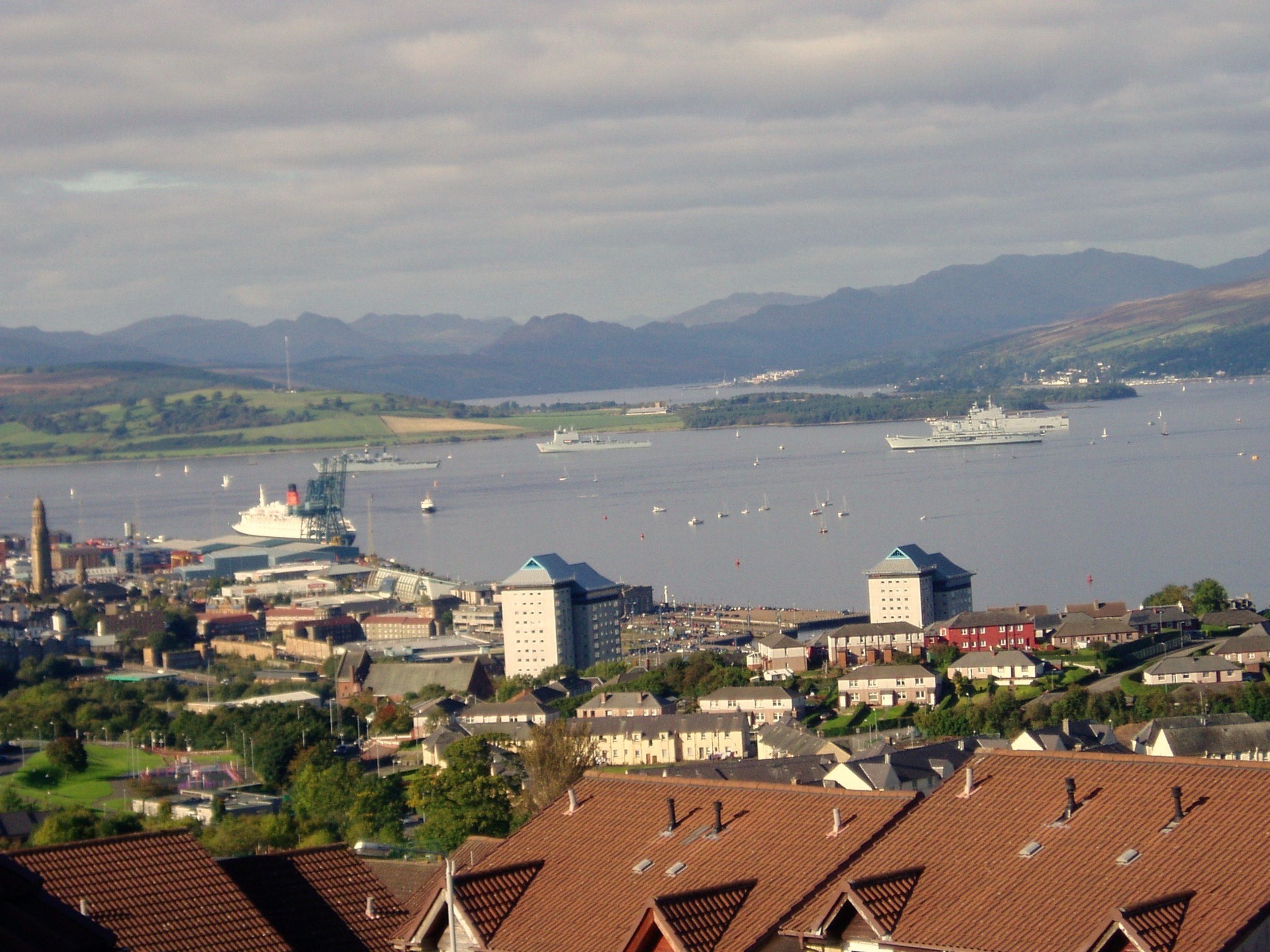
QE2 & Warships from Luss Avenue 2008 - Jim Christie
The name Inverclyde comes partly from Scottish Gaelic 'Inbhir' signifying mouth of a river or stream. The river in question is the Clyde, which in Gaelic is 'Inbhir Chluaidh' and pronounced Inverclyde in English.
From 1996, Inverclyde became one of 32 local government council areas in Scotland and is located in the west central lowlands on the River Clyde. Between 1975 and 1996, Inverclyde District was one of 19 distinct areas within the Strathclyde region. Prior to the 1975 local government reorganisation, the Inverclyde area formed part of the historic county of Renfrewshire along with the present day council areas of Renfrewshire and East Renfrewshire.

© OpenStreetMap contributors which is made available here under the Open Database License (ODbL).
Geographical Location
Inverclyde is bordered to the north and west by the River Clyde. In the south-west, the Kelly Burn separates Wemyss Bay from North Ayrshire and in the south-east, the River Gryfe and the Finlaystone Burn form the border with Renfrewshire.

Photo by Martine Colbourne
Towns and Villages
Inverclyde comprises 3 towns and 4 villages. From west to east they are:
Weymss Bay

Inverkip

Gourock

Greenock

Port Glasgow

Kilmacolm
Quarrier's Village
Copyright images: McLean Museum and Art Gallery: Inverkip, Gourock; Inverclyde Council: Inverclyde map